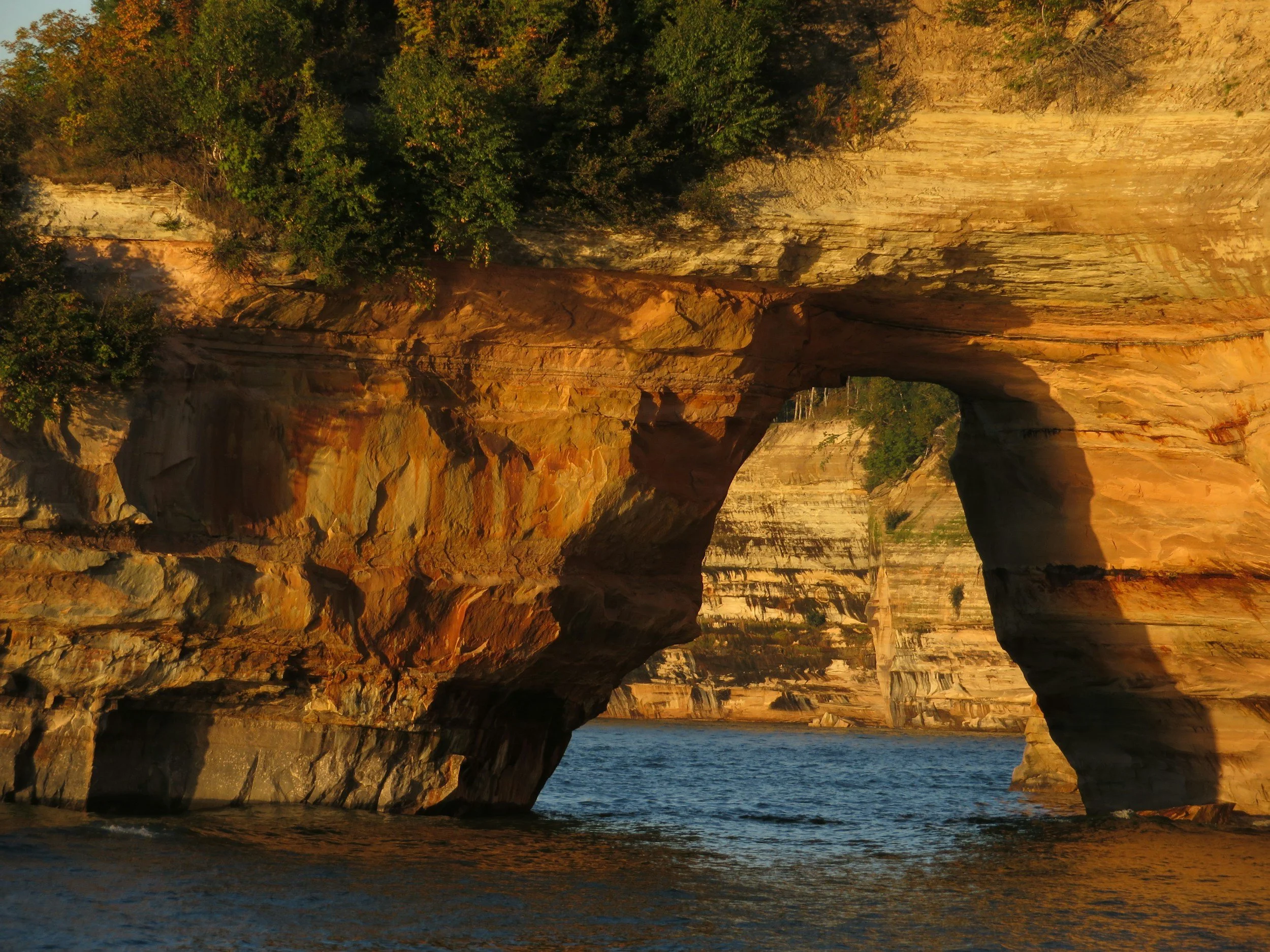
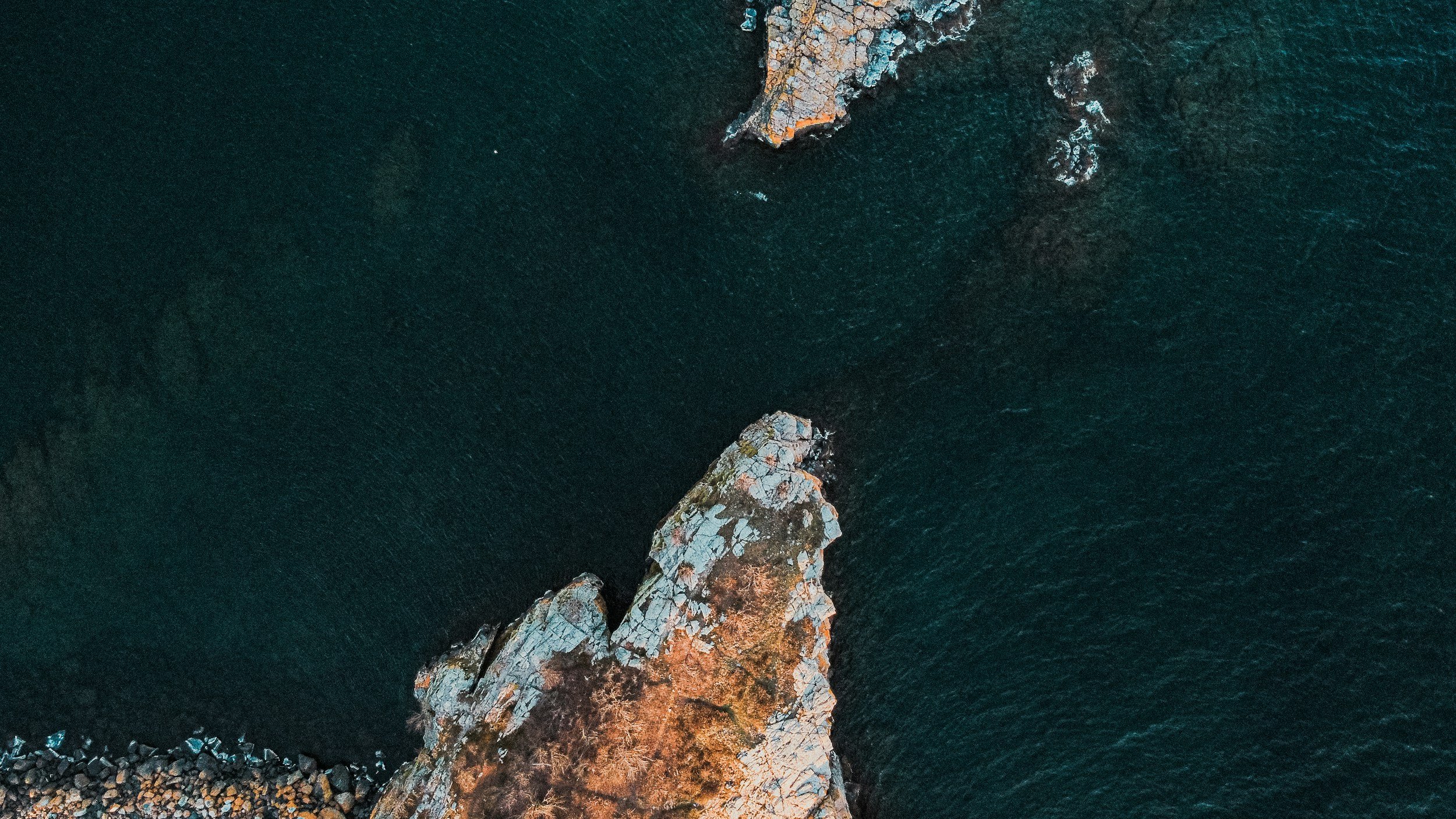
The North Shore of Lake Superior stretches from Duluth to the Canadian border, following rugged basalt cliffs, pebble beaches, waterfalls, and river gorges carved by ice and time. This shoreline exists because of ancient lava flows from the Midcontinent Rift, later shaped by glaciers that scoured deep valleys and left sheer rock faces rising above the largest freshwater lake on Earth by surface area. The North Shore’s rivers — including the Gooseberry, Baptism, Temperance, Cascade, and Pigeon — tumble through steep volcanic bedrock before emptying into Lake Superior, forming some of Minnesota’s most iconic waterfalls and state parks. The lake moderates local weather, creating cooler summers, heavy lake-effect snow, and a unique coastal ecosystem where boreal forest meets inland prairie and hardwoods.
For thousands of years, the region has been home to the Ojibwe (Anishinaabe) people, who traveled, fished, and traded along this shoreline and its river mouths. The late 1800s and early 1900s brought waves of European and Scandinavian settlers tied to logging, commercial fishing, and iron mining, with small harbors, lighthouses, and shipping communities developing along the coast. As industry declined, the North Shore gradually transformed into one of Minnesota’s most beloved scenic corridors, protected through a network of state parks, scientific and natural areas, and historic sites that preserve both landscape and story.
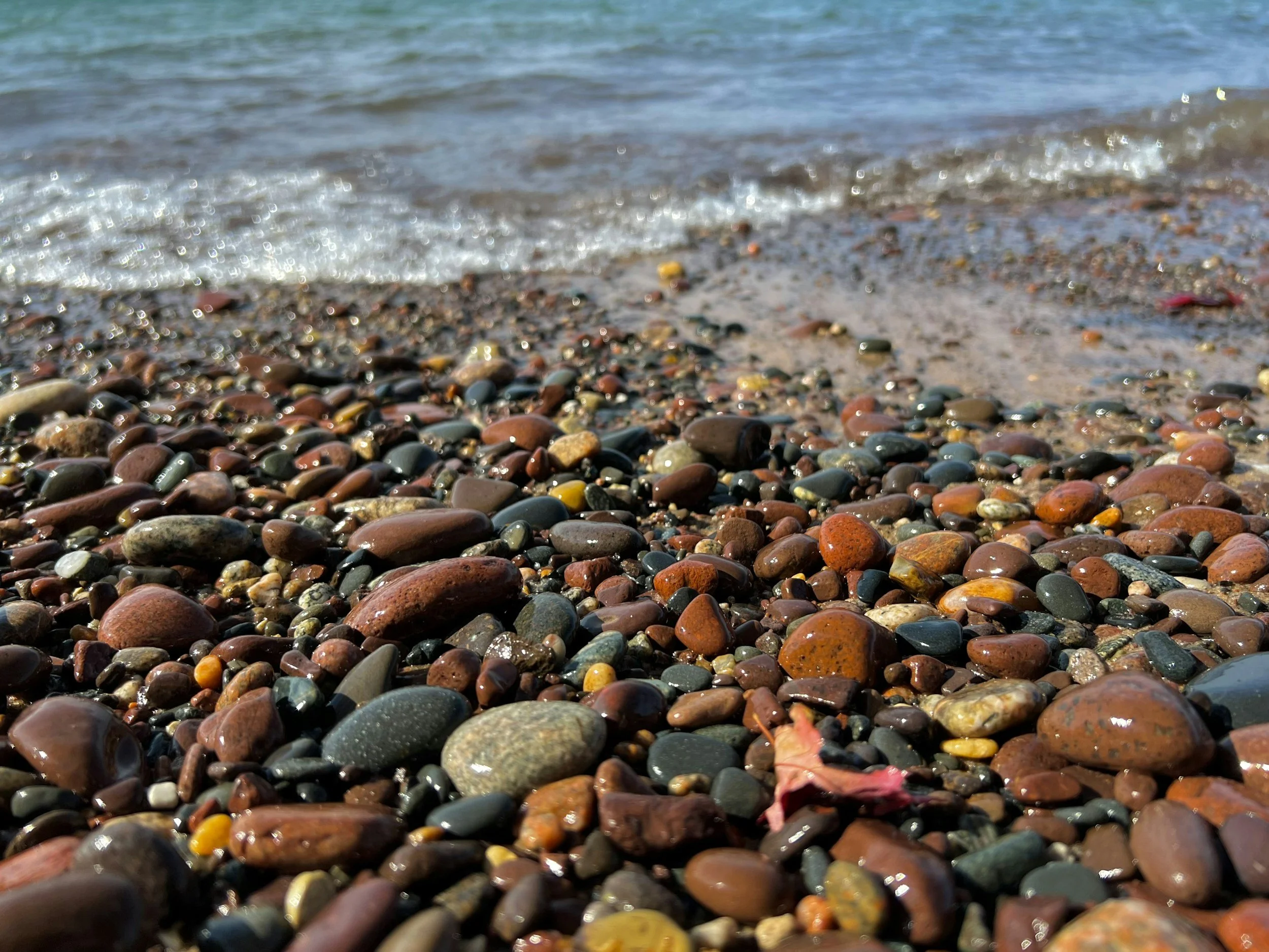
Lake Superior’s freshwater is central to the region’s identity and ecology. Its vast volume — containing roughly 10% of the world’s surface freshwater — supports cold-water fisheries, migratory birds, and sensitive near-shore habitats. The lake also shapes tourism, recreation, and local culture, drawing visitors for hiking, photography, storm watching, and quiet reflection along the stones and cliffs. Today the North Shore stands as both a living community and a protected landscape — a meeting place of history, geology, and one of the world’s great freshwater bodies.